 |
| Sanksville and Annadega, set on the U.S. Gulf Coast |
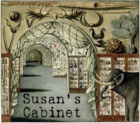
The first time I saw David Nuttall’s studio on the 3rd floor of Huntsville's Lowe Mill Arts center, I was immediately drawn to it – I love maps! The studio was closed at the time, but I looked over the information posted on the windows. When I discovered that the maps were fictitious I lost interest and moved on (although my artist daughter did appreciate them). I thought I was only interested in maps of real places. Many months later I saw David Nuttall give a talk at TEDx Huntsville 2015. I had already found, through attending many artists’ talks with my daughter, that learning more about someone’s art often creates an appreciation for it. That was true for David’s work as well.
 Not long after TEDx, David
had an exhibit at Lowe Mill titled “Fragments” and he offered free, weekly
guided tours. One Saturday I joined a few other people for a guided tour,
which we all found so interesting that we asked a lot of questions and caused
the tour to go on about twice as long as scheduled. The exhibit included maps
done by David as a child (from 8 years old). He obviously had a passion for map
drawing; even at that age his maps were extremely realistic and detailed. He
talked about how he did lack some imagination in naming places back then though
(using names very similar to the places around him in the
Not long after TEDx, David
had an exhibit at Lowe Mill titled “Fragments” and he offered free, weekly
guided tours. One Saturday I joined a few other people for a guided tour,
which we all found so interesting that we asked a lot of questions and caused
the tour to go on about twice as long as scheduled. The exhibit included maps
done by David as a child (from 8 years old). He obviously had a passion for map
drawing; even at that age his maps were extremely realistic and detailed. He
talked about how he did lack some imagination in naming places back then though
(using names very similar to the places around him in the 

The other focus of the
“Fragments” exhibit was his maps drawn on close-up photos of surfaces (such as
wood, brick, and rusted metal) found around Lowe Mill. You can go on a sort of scavenger
hunt to find the surfaces he used, although I had a very hard time finding the
location of the metal surface he used in the Sanksville and Annadega map even
after he narrowed down the location for me (I bought a print of that one).

 |
| Arroco de Matadro, set in Central America |
 |
Some of the rusty metal surfaces outdoors at Lowe Mill:


When we finished up the tour
in the 1st floor gallery, we went up to his studio where one of the
other attendees asked if we could see his original childhood notebooks. (He had
recently re-discovered them in his attic and mentioned that they were currently
in his studio, which he shares with his wife, painter Jodi Nuttall). What fun it
was to see the actual notebooks after seeing some of the reprinted versions in
the exhibit! We also saw some of his current project, “Human Terrain.” These
are temporary maps drawn on human skin, using the shape of the person to
influence the contours of the map. This project helps people look at scars
differently by incorporating them into the maps.
 |
| Photo from David's website |
His work was recently featured in "Celebrating Maps as Art" on OS, the British mapping agency's blog.
No comments:
Post a Comment